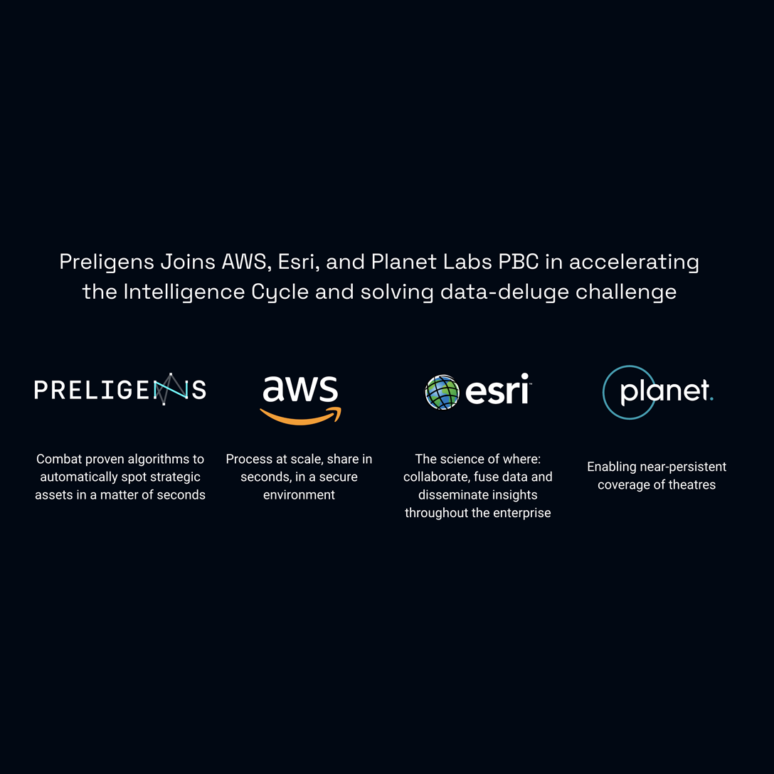
Preligens joins AWS, Esri, and Planet Labs PBC in accelerating the Intelligence Cycle and solving data-deluge challenge
On February 28, 2023 Preligens, Amazon Web Services (AWS), Esri, and Planet Labs PBC (Planet) will explain how combining multiple sources of commercial space data has the power to address governments’ growing need to derive critical insights from increasing volumes of data. Slow data processing can result in delayed intelligence cycles and loss of potentially crucial information. The four organizations will co-present at the Delivering Geospatial Intelligence for International Security (DGI) Conference on February 28 at 2:20pm in London.
The companies will share how their technology can be integrated into an end-to-end solution to address the data deluge. They will outline how Planet provides near-daily satellite data regarding theaters of interest bypassing earth observation data through Preligens’ high-throughput AI/ML models and enabling intelligence organizations to process data automatically.
During the DGI workshop, experts will explain how exports from Preligens’ models are then ingested through Esri’s ArcGIS software system to enable data fusion, collaboration, analysis, and rapid dissemination of lifesaving insights.
Finally, AWS will present how its architecture allows this process to be performed at scale to collect, store, and process data at the speed of mission relevance, while ensuring data remains secure end-to-end, from the collection of satellite imagery to the dissemination of insights to the field.
“I am thrilled to be sharing the stage with so many experts from the field of geospatial intelligence,” said Co-founder and CTO Renaud Allioux. “Together, we are ready to bring our combat tested solution to defense customers to help them maintain their decisive advantage.”
“Our customers seek the opportunity to turn data into critical insights and with the combination of Planet’s high-resolution satellite imagery and Preligens analytics, we can increase the power of OSINT and ensure the outputs are something they can consume”, said Robert Kerby, International Intelligence & Security at Planet.
“Adopting a geographic approach permits defense analysts to manage, fuse, visualize, and analyze almost all sources of data, taking advantage of common time and space attributes,” said Craig Cowan, NATO Executive at Esri. “Our partners can use ArcGIS tools to create disruptive solutions that exploit massive data resources using advanced analytics and AI to provide a force multiplier, supporting analysts and ultimately informing better decision-making.”
“The true value of geospatial data comes from rapidly transforming data into intelligence that helps end-users make important decisions,” said Phil Cooper, Global Geospatial Segment Lead, AWS. “AWS is delighted to be able to support Preligens and other geospatial customers with cloud-based machine learning, analysis, and visualization tools that are designed to help them achieve these insights faster, and at scale.”
About Preligens
Preligens was created in 2016 by two engineers, Arnaud Guérin and Renaud Allioux, on the belief that intelligence professionals would never be able to cope with the tsunami of data made available by the huge investments made in sensors. They came up with the idea of using artificial intelligence (AI) to automate the analysis of this multi-sourced data and tip and cue analysts to unusual events requiring their expertise. Based in Paris and present in 5 countries, Preligens employs 230 people, mostly scientists who form the largest AI team for Defense in Europe. The performance and accuracy of Preligens' solutions, which are internationally recognized and proven in the field, enable its users in the defense sector to be quickly enlightened about complex situations. Visit us at Preligens.com.
About Esri
Esri, the global market leader in geographic information system (GIS) software, location intelligence, and mapping helps customers unlock the full potential of data to improve operational and business results. Founded in 1969 in Redlands, California, USA, Esri software is deployed in more than 350,000 organizations globally and in over 200,000 institutions in the Americas, Asia and the Pacific, Europe, Africa, and the Middle East. Esri has partners and local distributors in over 100 countries on six continents, including Fortune 500 companies, government agencies, nonprofits, and universities. With its pioneering commitment to geospatial information technology, Esri engineers the most innovative solutions for digital transformation, the Internet of Things (IoT), and advanced analytics. Visit us at esri.com.